New tool to protect coastal wetlands
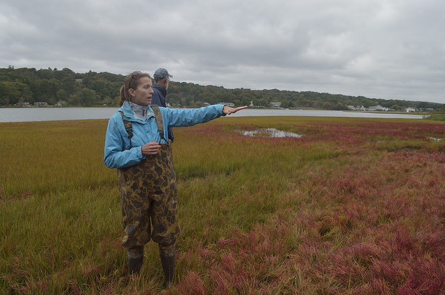
New maps are a key state tool for saving wetlands from flooding: Coastal wetlands protect communities from floods, an impact of storms and sea level rise related to climate change. Rhode Island has a new tool to help prioritize projects for protecting or restoring these habitats. Newly adopted SLAMM (Sea Levels Affecting Marshes Model) maps developed by the University of Rhode Island (URI) Coastal Resources Center (CRC) and Rhode Island Sea Grant for the state show which wetlands are most threatened and are available for all 21 Rhode Island coastal communities. Please follow the links below for more information: