Providence Journal: With online tool, you can see where R.I. would flood
From the Providence Journal
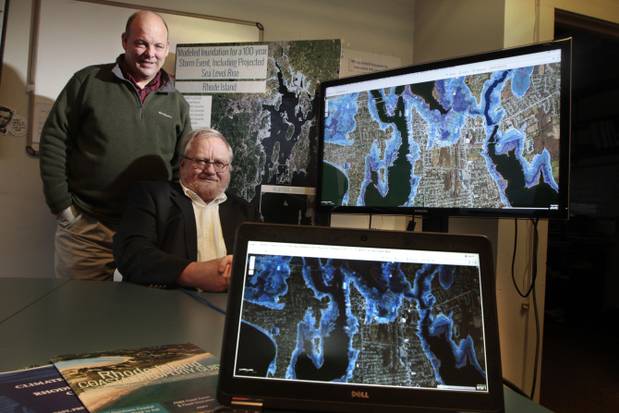
New on-line STORMTOOLS can be used to view maps of projected flooding in Rhode Island. “The tool allows the user to look at Rhode Island as a whole or focus on individual properties. Maps can be customized for 25-year, 50-year and 100-year storms and can be combined for 1, 2, 3 and 5 feet of sea-level rise. The resulting maps use shading to depict different levels of projected flooding:” http://www.providencejournal.com/news/environment/20150101-unique-online-tool-shows-potential-for-catastrophic-flooding-in-rhode-island-interactive.ece